Log in
All resources
Create a design
27 Free Images of Maps Of Paris In The 1760s
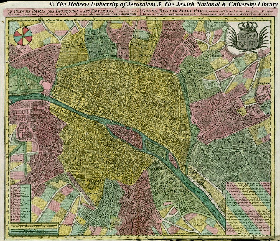
18th-century maps of paris
1760 in paris
1763 in paris
old maps of paris 1er arrondissement
bibliothèque nationale de france
maps in skokloster castle
1760s maps of paris
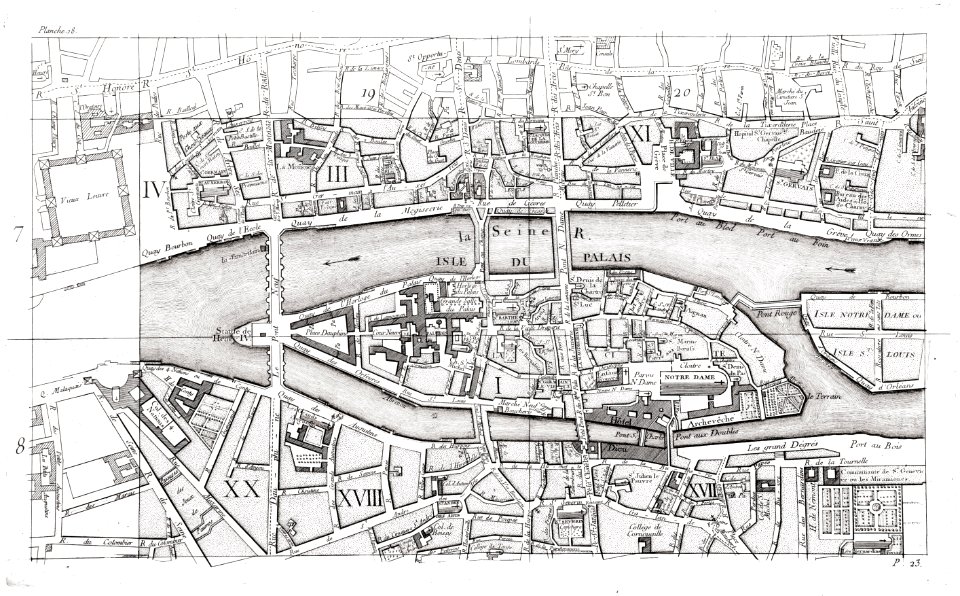
old maps of île de la cité
maps by matthäus seutter
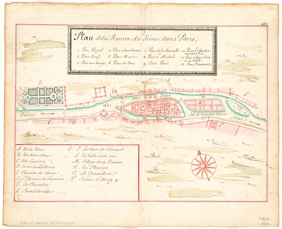
seine river in paris
paintings in the musée des arts décoratifs
paintings by pierre-antoine baudouin
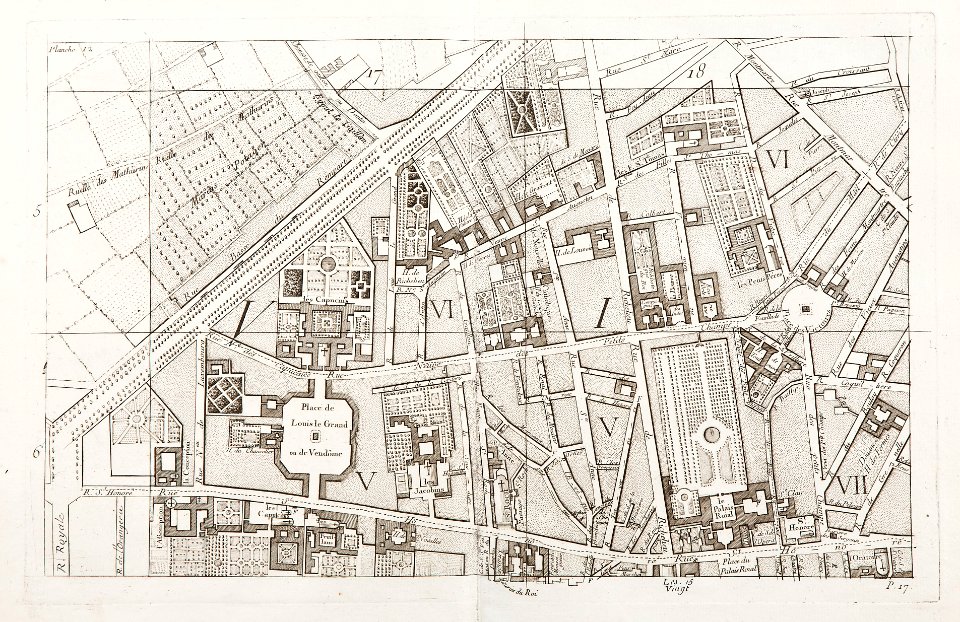
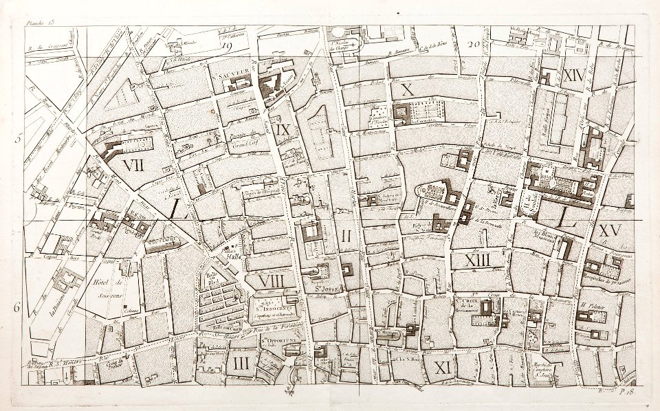
maps of paris in the 1760s
maps in skokloster castle
maps of paris in the 1760s
maps by matthäus seutter
maps of paris in the 1760s
maps by matthäus seutter
maps by matthäus seutter
copyfraud
maps by matthäus seutter
copyfraud
seine river in paris
1760 maps
maps of paris in the 1760s
maps in skokloster castle
seine river in paris
1760 maps
seine river in paris
1760 maps
seine river in paris
1760 maps
maps in skokloster castle
port du louvre
maps in skokloster castle
1763 maps
maps of paris in the 1760s
maps in skokloster castle
maps of paris from the barry lawrence ruderman antique maps inc.
maps of paris in the 1760s
maps of paris in the 1760s
1763 in paris
maps of paris from paris musées
1760 in paris
historical images of the pont saint-michel
maps in skokloster castle
proletarian literature
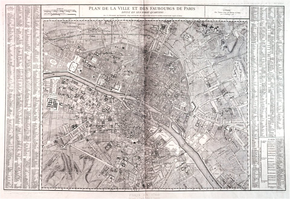
plan de vaugondy
proletarian literature
plan de vaugondy
maps of paris from bibliothèque nationale de france
maps of paris by jean lattré
maps of paris from bibliothèque nationale de france
maps of paris by jean lattré
18th-century double hemisphere world maps
1760s maps of the world
18th-century double hemisphere world maps
1760s maps of the world
maps of ancient israel by philippe de la rué
old maps of the tribes of israel
old maps of the kingdom of naples
giovanni antonio rizzi zannoni
old maps of the kingdom of naples
giovanni antonio rizzi zannoni
1 - 27 of 27
/ 1